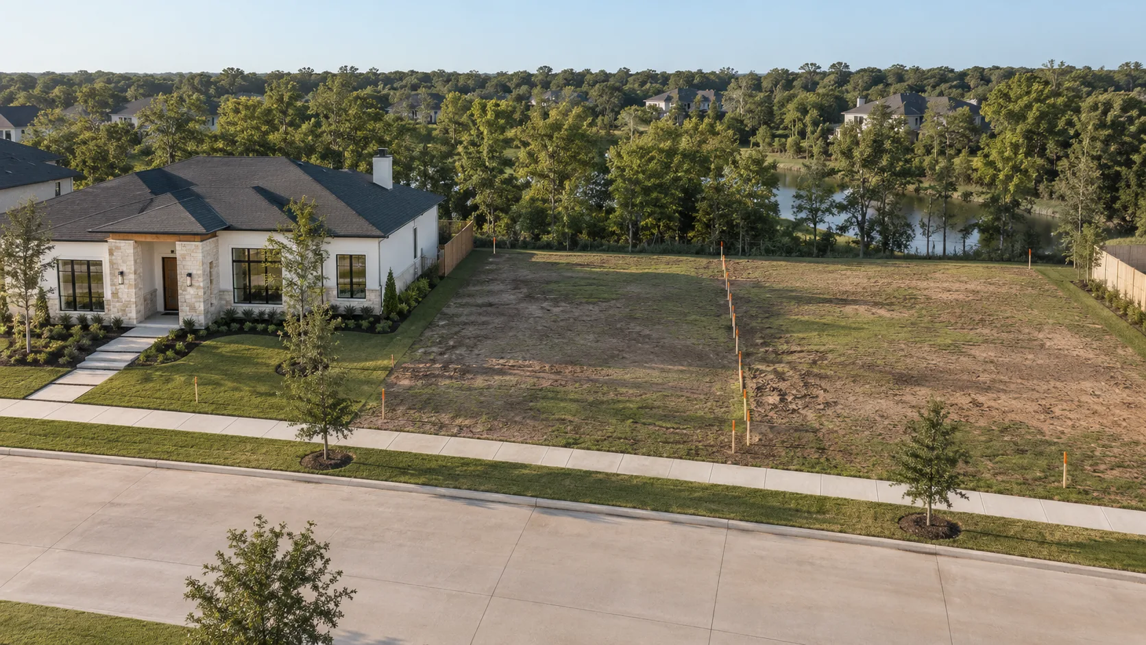
A plat is the map, recorded in the county's property records, that created your lot. It fixes the lot's dimensions, the street it faces, the building lines you may not build in front of and the easements you may not build over. In the City of Houston, which has no zoning, the plat and the recorded deed restrictions together are the whole envelope for a house — and Chapter 42 of the city code says in so many words that where the private building line is deeper, the private line controls.
That is why, in our part of Texas, the first document we ask for on any lot is not the zoning map. It is the plat. Everything else, including the ordinance, is read against it.
What a plat actually is
When land is divided into lots, the person dividing it draws a map of the division, the local authority approves it, and it is recorded with the county. From that day the lots exist as legal parcels, and every later deed describes a lot by reference to it: Lot 12, Block 3, of a named subdivision, as recorded in the county's map records.
A residential plat usually shows:
- Every lot's boundary, with lengths and bearings, and the lot and block numbers.
- The street and its right-of-way width — the strip held for the road, the sidewalk and usually the utilities. Your property line is where that strip ends, not where the curb is.
- Building lines, drawn as dashed lines parallel to the street and sometimes along side lines, with a dimension such as "20' B.L."
- Easements: utility, drainage, and aerial easements for overhead lines, each dimensioned and labelled.
- Reserves: parcels that are not building lots at all — a landscape strip along a busy road, a detention pond, an open space.
- Plat notes: numbered conditions in the margin that bind every lot, and that are where the surprising rules tend to live.
- The recording information and date, which, as we will come to, can change the rules in some cities.
Is a plat the same as a survey?
No, and the difference matters. The plat is what was recorded — the legal intention for the whole subdivision, drawn once. A survey is a measurement of one lot as it exists today, made for a sale or a loan, and it shows what is actually on the ground: the house, the fence, the driveway, and whether any of them cross a line. A good survey cites the plat and redraws its building lines and easements on your lot. When the two disagree, you have a question for the surveyor and the title company, and it is far cheaper to find it during an option period than after closing.
Reading a plat, line by line
The plat looks technical, but reading it for a house is a short, fixed sequence.
Reading a recorded plat, in order
The last step is the one people skip, and it is the one that most often changes a design. A plat note can set a building line on every corner lot, restrict driveway access to one street, require a minimum slab elevation, or tie the subdivision to a set of deed restrictions recorded separately. None of that is visible in the drawing of your lot. It is in small print at the edge of the sheet, and it binds you exactly as much as the lines do.
Two things the plat usually does not give you in full. It rarely reproduces the deed restrictions, which are a separate recorded instrument and need pulling on their own. And it does not tell you which authority will permit your lot today; a city boundary or a county line can have moved since it was drawn.
Why the plat outranks the ordinance in Houston
In a city with zoning, the ordinance sets a district's setbacks and the plat mostly repeats them. Houston has no zoning, so the order is reversed. Chapter 42 of the Code of Ordinances — the chapter on subdivisions, developments and platting — sets a building line by the kind of street a lot faces, not by the neighbourhood it sits in:
Chapter 42 building line by the street the lot faces, City of Houston
Those are the defaults for single-family lots. Chapter 42 then allows 10 ft, 5 ft or even zero on a local or collector street where the lot meets the conditions in Sections 42-156 and 42-157, and it sets no building line at all in the central business district. Because the line follows the street, a corner lot can carry two different lines: 25 ft on the thoroughfare side and 20 ft on the local street side of the same house.
Here is the sentence that makes the plat, and the deed restrictions behind it, the controlling documents. Section 42-150(b) provides that where deed restrictions set a greater building line than Chapter 42, the deed restrictions control. The city is telling you in its own code that its figure is a floor, not the answer. An older subdivision can carry a platted or restricted building line well behind the 20 ft that Chapter 42 alone would ask for on a local street, and that deeper line is the one you design to.
If the plat and Chapter 42 disagree, which building line do I use?
The deeper one. A platted building line is binding on its own, and Chapter 42 yields to a greater private line. In practice you draw every line that applies — the plat, the deed restrictions, Chapter 42 — and build behind the most restrictive of them. A permit issued against the city's figure is no defence against a subdivision enforcing its own.
What does Houston actually control on a house, then?
The building line, the lot size, drainage and the building code — and not much of what zoning covers elsewhere. Houston sets no general residential coverage cap and no floor area ratio. The one coverage figure in Chapter 42, 60%, applies only to lots that have been reduced below 3,500 sq ft under Section 42-183(b). The size and shape of the house are otherwise decided by the plat, the restrictions and the physical limits of the lot.
Where the plat changes the answer in other cities
Houston is the extreme case, because it has no zoning to fall back on. But the plat also changes the rules in the cities that do have zoning, and in ways a zoning table alone will not show you.
Pearland. The date the lot was platted sets the side yard. Lots platted before 27 February 2006 may build to 5 ft from the side line, provided 15 ft separates the houses; later lots need 7 ft 6 in. The rear yard moves too: 20 ft where a 10 ft landscape reserve is recorded between the lot and a collector or thoroughfare, 30 ft where it is not. Both facts come off the plat. We set out the arithmetic in our Pearland guide.
Bellaire. On a corner lot platted after the current ordinance, both street frontages are treated as front yards — unless the plat draws a side building line of 10 ft or more. Whether the side of your house is held back like a front yard depends on a line someone drew on the plat.
Sugar Land. In the R-1Z zero-lot-line district a house sits on one side line and keeps 10 ft on the other, and a 3 ft maintenance easement has to be platted on the zero side so the neighbour's wall can be reached. The ordinance assumes the plat carries it.
Unincorporated Harris County. No zoning and no county setback. The plat and the deed restrictions are the entire envelope, and nothing in county regulation replaces them if they are silent.
Small lots: what a Houston plat can buy, and what it costs
Chapter 42 also sets the minimum size of a lot, and this is where replatting changes what can be built. The standard minimum for a single-family lot with wastewater service is 3,500 sq ft. A plat that meets the development standards of Section 42-183(b), or provides compensating open space, can create lots as small as 1,400 sq ft — which is how a 50 × 100 ft inner-loop lot becomes two or three narrow lots with townhouses on them.
The price of going small is written into the same chapter. A lot reduced below 3,500 sq ft takes on the 60% coverage limit, and a subdivision reducing its lots owes compensating open space on a sliding scale — up to 720 sq ft per lot in a suburban area at the 1,400 sq ft floor. The rules peculiar to the city, as we read them:
What is specific to City of Houston
- Houston has no zoning. What governs a lot is the plat, Chapter 42's building lines and — decisively — the recorded deed restrictions.
- Sec. 42-150(b) says it plainly: where deed restrictions provide a greater building line than Chapter 42, the deed restrictions control.
- The building line follows the street type, not the neighbourhood. The same house on a corner can face a 25 ft line on the thoroughfare and a 20 ft line on the local street.
- Eaves, bay windows, balconies, chimneys and cantilevered habitable area may encroach up to 30 in into a building line of 10 ft or more, provided nothing supports the encroachment from below and it clears the foundation by 9 ft.
- Reducing lot size below the minimum buys an obligation: compensating open space on a sliding scale, up to 720 sq ft per lot in a suburban area at the 1,400 sq ft floor.
This is also the concession we owe anyone thinking of replatting a lot to make it more useful. A replat is a separate approval with its own calendar and its own notice requirements, and it runs before the building permit clock starts, not alongside it. Plan review for a new house in the City of Houston typically takes 4 to 10 weeks once the permit application is in; a replat adds its own time ahead of that, and it can be refused or conditioned. It is worth doing when the lot genuinely supports it. It is not a formality, and we would not plan a purchase around one without knowing the deed restrictions allow it — some restrictions forbid resubdividing a lot at all.
Easements: the lines on the plat you cannot build across
Building lines tell you where the house may go. Easements tell you where someone else has rights over your land, and they can be more restrictive than any setback.
Can I build over an easement shown on my plat?
Generally not. A utility or drainage easement gives the holder the right to enter, dig and maintain what runs through it, and a slab, a pool deck or an addition built across it can be ordered removed at your cost. A rear utility easement deeper than the rear setback becomes the real rear line. An aerial easement for overhead lines limits what you may build above a certain height even where the ground below is clear, which bites on second floors and roof decks. If a design needs to cross one, the holder has to release or relocate it in writing first, and that is their decision, not the city's.
Where do I get a copy of my plat?
From the county's official map records, where it was recorded; your title commitment or your survey should name it by subdivision and recording reference. If you are buying, ask the title company for it with the commitment. If you already own the lot, look in your closing documents — the survey will cite it.
The honest limitation
A plat is a legal document drawn at one moment, sometimes 70 years ago, and it can be wrong about the ground. Streets get widened, lots get partially replatted, easements get released and never redrawn. A plat also says nothing about floodplain designation or protected trees, both of which can shrink a buildable area more than any building line. And it cannot be read from a listing: the lot dimensions an agent quotes are usually right, and the building lines and easements are usually absent.
So we treat the plat as the first document, not the only one. Plat, deed restrictions, current survey and the jurisdiction's own ordinance, in that order, and the house is sized to whichever of them is tightest. For a buyer, Modern Acre Studio's notes on judging a lot before purchase cover the physical side of the same exercise — drainage, trees, orientation. For an owner, a deep building line often turns into a question of shape rather than size, and their piece on whether to build one storey or two is a sensible next read once the envelope is known.
When we start a new custom home, reading the plat is part of the first site walk, before anything is drawn. It is a short piece of work, it costs a fraction of what a redesign costs in plan review, and it is the one step that tells you whether the house in your head fits on the lot you own.