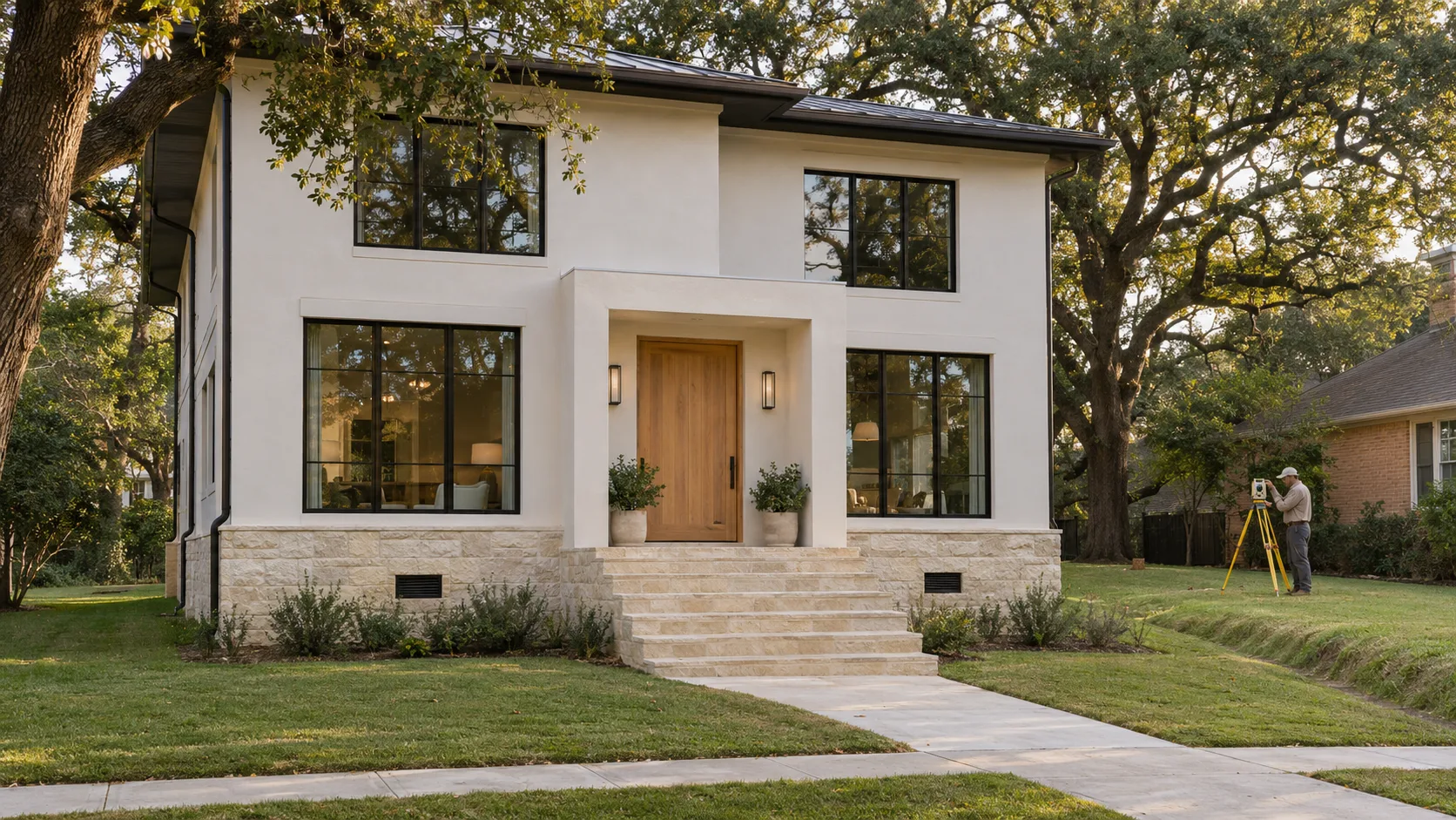
If any part of your lot is in the 100-year or 500-year floodplain, the City of Houston requires a new house to sit at least 2 feet above the 500-year flood elevation, and 3 feet above it if the building is a critical facility or is in the floodway. The City's Floodplain Management Office issues a separate floodplain development permit for the work, and it checks the number on the drawings, on the site plan and again on a signed elevation certificate.
Most of the work is not the 2 feet. It is the things that follow from it: the dirt you are not allowed to add without taking an equal amount away, the openings every enclosure below that line must have, the heights of the air-conditioning and the wiring, and a surveyor's certificate that has to agree with every sheet. This guide goes through what the City's own pages say about each, in the order a drawing set meets them.
What the 2 feet is measured from
The rule is stated against the 500-year flood elevation, not the 100-year one most people have heard of. The City's Floodplain Management Office describes the standard as new structures "at least 2 feet above the 500-year elevation", and "3 feet above the 500-year elevation if the building is considered a critical facility or located in the floodway". The rule sits in Chapter 19 of the City's Code of Ordinances, which the office lists as Ordinance 2018-258.
Two consequences are easy to miss.
The rule applies to a lot that is only in the 500-year zone. The office issues floodplain development permits for construction in the "500-year floodplain, 100-year floodplain, and floodway". A lot that sits outside the FEMA 1% annual chance area on a lender's map can still be inside the 500-year line, and it is the 500-year line that sets the floor.
The number comes from the map, not from the lot. The 500-year elevation is a published figure for your location. Our finished floor elevation guide explains how that figure competes with drainage, the sewer and the deed restrictions to set the final floor; where the floodplain is the highest of the four, this is the rule that wins.
Here is the arithmetic on a made-up lot, to show how the margins stack. These are our numbers, not a real property's.
| Item | Elevation (ft, MSL) |
|---|---|
| 500-year flood elevation at the lot | 48.0 |
| Minimum finished floor (500-year + 2 ft) | 50.0 |
| Same, if floodway or critical facility (500-year + 3 ft) | 51.0 |
| Ductwork and electrical, the City's stated minimum | 50.0 |
A floor at 50.0 on a lot whose natural ground is at 46.5 sits 3.5 ft above the ground. That is the number that then pushes on the height limit, the steps, the driveway and the foundation type.
Is a house in the 500-year zone treated differently from one in the 100-year zone?
Not for the new-house floor. The City's page applies the same "2 feet above the 500-year elevation" standard to new structures in its flood-hazard areas, and issues the same type of floodplain development permit for the 500-year floodplain, the 100-year floodplain and the floodway. Where the two zones differ is elsewhere: a lender may require flood insurance on a property with any part in the 1% annual chance floodplain, and the mitigation calculation, covered below, runs to the 500-year line, not the 100-year one.
The permit that sits beside the building permit
A new house on a floodplain lot needs two approvals that run side by side: the ordinary residential building permit reviewed at the Houston Permitting Center, and a floodplain development permit from the Floodplain Management Office. The office lists permit types for single-family new structures, additions, remodels and repairs, outdoor improvements, driveways, site work, pools, and "fill and grade". It also inspects projects for compliance, so the office does not leave the process once the permit is issued.
The City's published list of common plan-review rejections shows what the floodplain reviewer reads. Each comment cites a section of Chapter 19, and together they are a checklist for the drawing set.
What a floodplain plan review reads, in the order it meets the drawings
Which elevation datum do the drawings use?
Mean sea level. The City's rejection comment is blunt: "All elevations must be referenced in mean sea level (MSL)." A site plan that gives the floor as "8 in above grade" does not answer the question, because the reviewer compares the floor to a flood elevation on the same datum.
Fill: why you cannot simply raise the lot
The usual instinct on a low lot is to bring in dirt and build a pad. In a floodplain the City treats that dirt as lost room for floodwater, and its zero net fill requirement says the loss has to be made up on the same site.
The City's rejection comments say two things that surprise people:
- Mitigation is calculated between natural grade and the 500-year elevation. In the City's words: "Mitigation is calculated between the Natural Grade & 500-yr (DFE) floodplain, NOT the 100-yr (BFE) floodplain."
- Fill is defined broadly. The City's wording: "Fill includes dirt, mulch, concrete (foundation slabs, piers, beams, stem walls, solid & enclosed stairs)". The same comments name CMU walls, fences and flatwork as fill too.
So the foundation itself counts. A slab, its stem wall and the solid stairs up to the door are all volume sitting in the zone floodwater would otherwise occupy, and the drawings have to show an equal volume excavated elsewhere on the lot. The City adds that the compensating volume "must drain by gravity to the approved point of connection", which rules out a depression that simply holds water.
Illustrative arithmetic, again our own: a 2,000 sq ft slab with 1.5 ft of its depth sitting between natural grade and the 500-year elevation displaces 3,000 cubic feet, about 111 cubic yards. That volume has to be dug out of the same lot, in a shape that drains, and drawn as a side-by-side comparison of existing and proposed spot elevations with cross-sections. On a 6,000 sq ft lot with a house footprint, a driveway and a required rear yard, finding 111 cubic yards of place to excavate is a design problem, not a formality.
Illustrative volume displaced by a 2,000 sq ft slab, by depth of slab inside the floodplain (our arithmetic)
This is also where the floor-height choice and the site design meet. Every extra foot of raised floor on a solid base adds to the volume that has to be found somewhere else. A pier-and-beam foundation with open space below, which we cover in the vents section, displaces far less than a slab on fill, though the City still counts the piers and beams themselves as fill.
Does a sheet flow exception exist for floodplain fill?
For the City's detention rules there is a sheet flow provision, which we cover in when a house needs detention. The floodplain rejection comments we read do not mention one for zero net fill, and we would not assume one applies. Ask the Floodplain Management Office on your specific lot.
Below the line: flood vents and flood-resistant materials
A floor 2 feet above the 500-year line does not mean nothing exists below it. A pier-and-beam house has a crawlspace. A slab house on a raised stem wall may have an enclosed void. A garage may sit at grade under a living floor. The City's comments call such a space an "enclosure below the minimum flood protection elevation", and set specific rules:
- Flood openings are required for each such enclosure.
- Two different walls. The openings must be on at least two different walls of each enclosure.
- Area. "Flood openings are calculated at 1 sq. inch for every sq. foot of area for each enclosure."
- Height. "The bottom of each flood vent openings shall not be more than 1 foot above natural grade."
- Net opening. The net opening area must match the manufacturer's cut sheet or an engineer's ICC evaluation sheet, and the quantities must agree across the plans, the elevations and the elevation certificate.
Illustrative arithmetic: a 20 ft by 24 ft crawlspace is 480 sq ft, so it needs 480 sq in of net opening. If the chosen vent is rated at 100 sq in net, that is 5 vents, placed on at least two walls, with the bottom of each within 12 in of natural grade. Put 3 on one wall and 2 on another and the sheet passes; put all 5 on the street wall and it does not.
On materials, the City's comment is specific enough to quote: "Batt Insulation & Drywall / Gypsum Board or Green Board are not flood-resistant materials." Joists and insulation below the minimum flood protection elevation have to be flood-resistant, and a crawlspace needs "an adequate drainage system that removes floodwater from the interior area of the crawlspace".
Can I finish a basement-style room below the flood line?
Houston houses rarely have basements, so the practical version is: can an enclosed ground-level room such as a garage or storage room sit below the 500-year-plus-2-feet line? The City's comments treat such spaces as enclosures that need vents and flood-resistant materials, which implies they are allowed in a limited form. We have not read the ordinance text on what uses are permitted inside one, so we would not design a bedroom or a finished room there on the strength of this guide.
Equipment and utilities: the part people forget
"All equipment & utilities in the floodplain must be elevated 2 FT above the 500-yr flood elevation." The City's comments list ductwork and electrical by name, and say any outlet or switch that is below the flood elevation has to be on a separate circuit and in a NEMA-rated enclosure. In a crawlspace, utility systems have to be raised the same 2 feet or designed so floodwater cannot enter them.
That changes the plan more than people expect. The air handler, which in a Houston house often lives in an attic or a ground-floor closet, has to be above the line or protected. So does the electrical panel, the water heater, and every run of ductwork under the floor. On a slab house with ducts in the attic, this costs little. On a pier-and-beam house with ducts in the floor system, it can reorganise the whole mechanical layout, and the City's drawing requirement is that the architectural elevations show "HVAC and electrical locations and elevations".
The elevation certificate, and why it ends up last
An elevation certificate is the surveyor's statement of where the floor, the lowest adjacent grade and the equipment actually sit. The City's requirement, from its rejection list: "The Elevation Certificate must demonstrate the FFE of the structure is 2 FT above the 500-yr floodplain elevation." It "must match the drawings" and be signed, sealed and dated by a Texas-licensed engineer, land surveyor or architect.
Three practical points from the Floodplain Management Office's own page:
- Certificates expire. "Effective January 1, 2017, we no longer accept expired Elevation Certificates or Floodproofing Certificates." The expiry date is in the top right corner of the form. The office accepts an expired one only with a FEMA extension attached.
- You can get a copy of an old one. The office provides copies of an existing certificate on proof of ownership, such as a tax bill, deed or mortgage or insurance documents. That can tell you the as-built floor height of a house before you design an addition.
- The certificate has to agree with the drawings. The vent counts and the elevations on the certificate are checked against the plans. A form set an inch low, or a vent count that changed in the field, is exactly how a house with a nearly correct floor fails its final.
Official sources — City of Houston
- Houston Permitting Center
- Plan review
- Permit fee calculator
- Adopted codes
- Check plan review status
- Stormwater — Office of the City Engineer
- De minimis impact credit guideline (OCE-1006a)
- Storm detention requirements FAQ
- Design and construction standards (2026 IDM)
- Residential demolition permit
- Building demolition guideline (CE-1075) PDF
- Asbestos survey guideline (CE-1258) PDF
- Floodplain Management Office
- Common plan-review rejections (floodplain comments)
What we could not confirm
This guide is built from the Floodplain Management Office page and the Houston Permitting Center's published floodplain rejection comments, with section numbers as the City cites them. We did not read the full text of Chapter 19. So:
- We have not confirmed the threshold at which an addition or remodel counts as a "substantial improvement" and triggers the full 500-year-plus-2-feet standard. The City's page links a Substantial Improvements FAQ; read it before you plan an addition on a floodplain lot.
- We have not confirmed the City's fee for a floodplain development permit. The office's page does not list one.
- Harris County, Fort Bend County, Bellaire and West University Place each run their own floodplain regulations, with different margins. This guide is the City of Houston only. Bellaire's version is in our Bellaire guide, where a flood elevation sets the height datum itself.
- The 500-year elevation for your lot has to come from the City's or FEMA's maps. The office points to the FEMA Flood Map Service Center and the City's GeoLink HUB, and says that it will give a flood zone determination by phone.
How this fits with the rest of the lot
On a floodplain lot, the floodplain rule and the private rules interact. The floor you need may be higher than a deed restriction allows for height, a setback may leave no room to excavate the compensating volume, and detention may add its own earthwork on top. We would not buy a lot on the strength of the plat alone. Which authority permits your lot is the first question, and the deed restrictions are the second. If you are weighing a lot, the Modern Acre Studio article on what to look for before you buy lists the checks, and its piece on flood-resilient design covers the construction side.
Frequently asked questions
Do I need a floodplain permit if only part of my lot is in the floodplain?
The City's Floodplain Management Office issues floodplain development permits for any construction activity in the 500-year floodplain, 100-year floodplain and floodway. A building that is partly in one of those areas is, on the City's own description, under the office's review. The lender's rule is separate, and broader: a property with any part in the 1% annual chance floodplain may require flood insurance whatever the structure's position.
How do I find out whether my lot is in the floodplain?
The City lists three routes: the FEMA Flood Map Service Center, the City's Houston Public Works GeoLink HUB, and paper maps at the Floodplain Management Office, which will also give a flood zone determination by phone at 832.394.8854. A survey that shows the flood zone is the document a designer will want in hand.
Is the 2-foot rule measured to the slab or to the framing?
To the finished floor, which the City asks to see stated on the site plan as the finish floor elevation of the first floor. The reviewing comments separately ask for the crawlspace elevation, the lowest and highest adjacent grade, and the equipment elevations.
Can an old house in the floodplain be repaired before I call the City?
The Floodplain Management Office says that for homes in the floodplain, "repairs cannot be made until first contacting us." That is the City's wording on flood damage repair.
Does the City accept an old elevation certificate?
Not an expired one. Since January 1, 2017 the office does not accept expired elevation certificates unless the submission includes a FEMA extension.
Who can sign the elevation certificate?
A Texas-licensed professional engineer, land surveyor or architect, who must sign, seal and date it, per the City's plan-review comment.
What to do first
Before you design anything, pull a current survey, find the 500-year elevation for the lot from the City's or FEMA's map, and write the minimum floor on the first page of the brief: that number plus 2 feet. Everything else in this guide is a consequence of it. Then ask the Floodplain Management Office the two questions we could not answer for you, whether your work counts as a substantial improvement and what the fee is, before the budget depends on either. If you want us to check a specific lot, ask for a consultation.